|
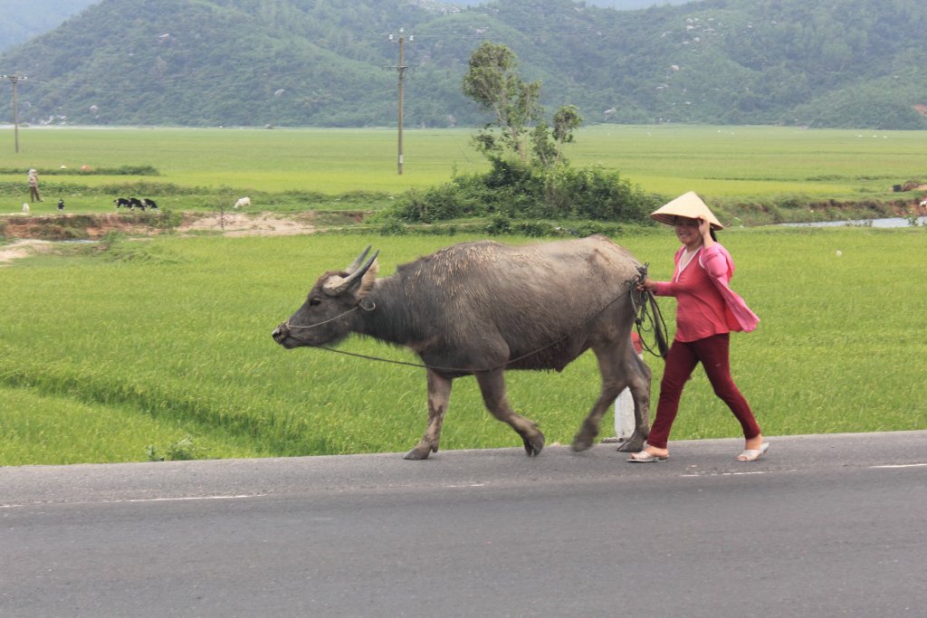 |
| Buffalo to plow the rice fields | |
| Latitude: N 12°54'38,72" | Longitude: E 109°22'27,58" | Altitude: 15 metres | Location: Hao Son | State/Province: Kon Tum | Country: Vietnam | Copyright: Ron Harkink | See map | |
| Total images: 26 | Help | |
|
|
|
| Buffalo to plow the rice fields | |
| Latitude: N 12°54'38,72" | Longitude: E 109°22'27,58" | Altitude: 15 metres | Location: Hao Son | State/Province: Kon Tum | Country: Vietnam | Copyright: Ron Harkink | See map | |
| Total images: 26 | Help | |